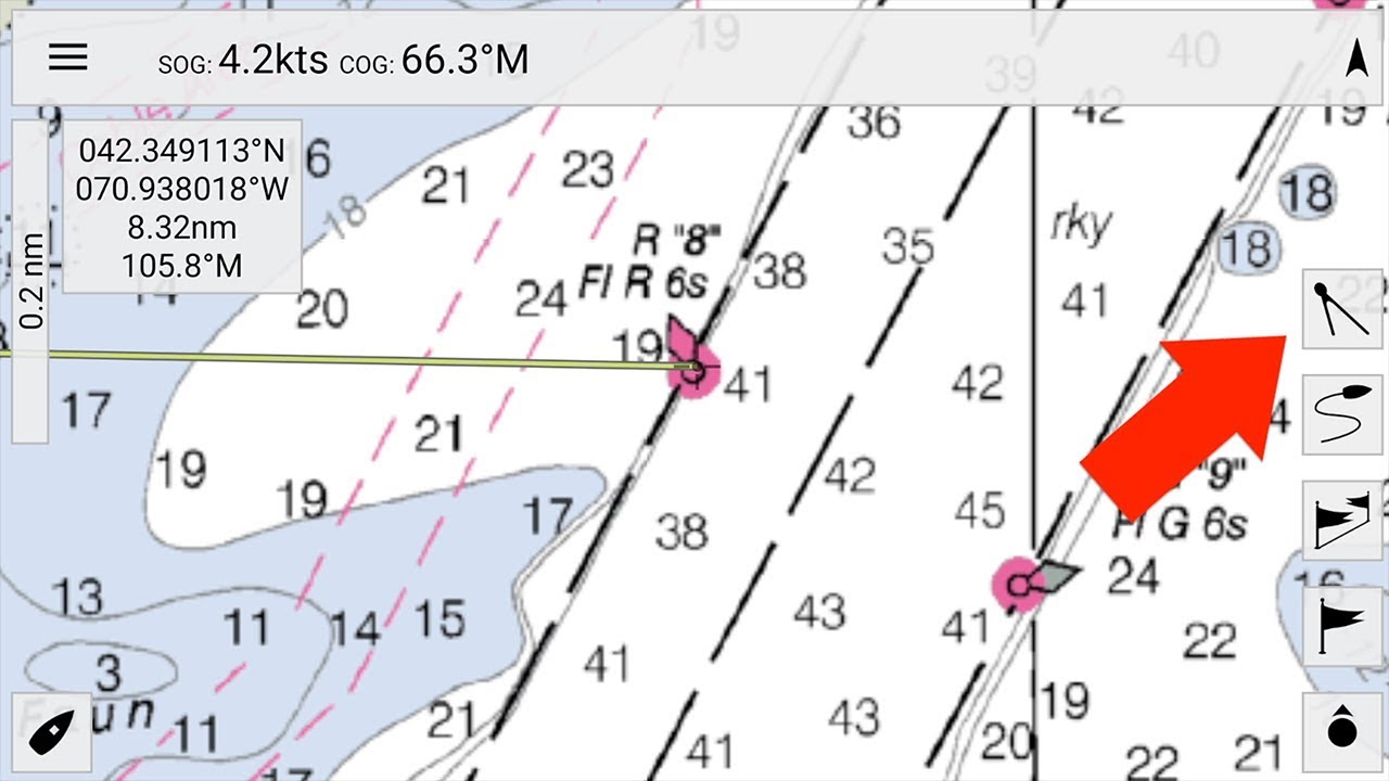
Navigation is the art of keeping your vessel clear of trouble while getting where you’re going. At sea, navigation is your ounce of prevention. This 3 minute tutorial will introduce you to the basic navigation functionality of MxMariner. If you’re getting started with navigation on Android or iOS devices download SavvySalt’s click here to download […]
Raster vs. Vector Charts: Why I don’t trust vector charts
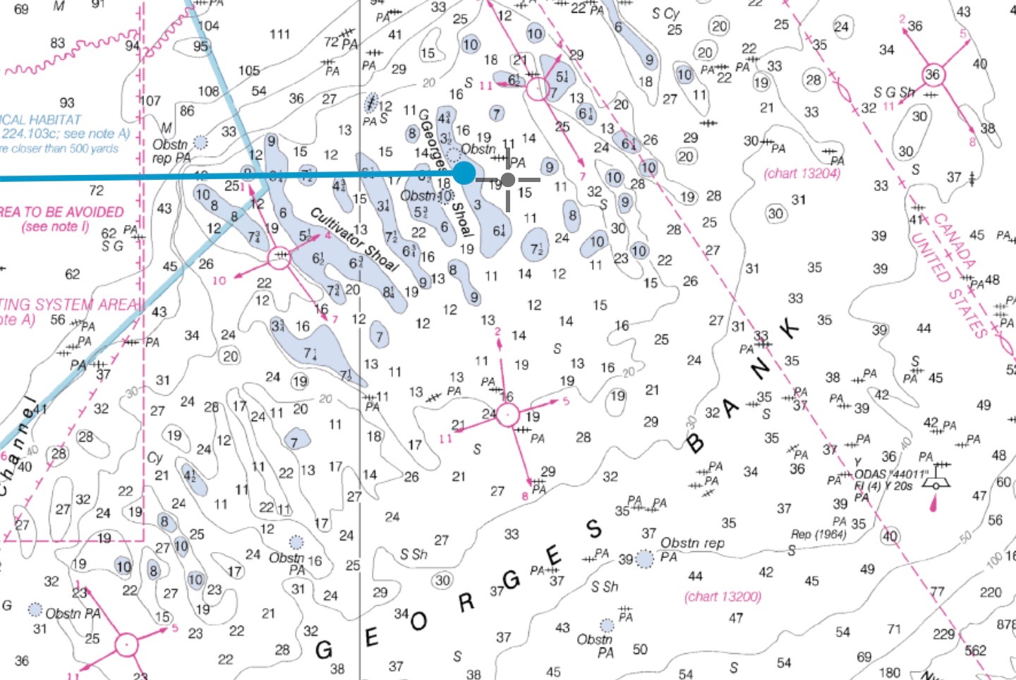
I believe a well constructed Raster chart is always superior to a vector chart when constructed using the same underlying data. More specifically for US waters I would never rely on NOAA vector charts when NOAA raster charts are available. The main difference is that raster charts were ‘rendered’ by a skilled human using a […]

