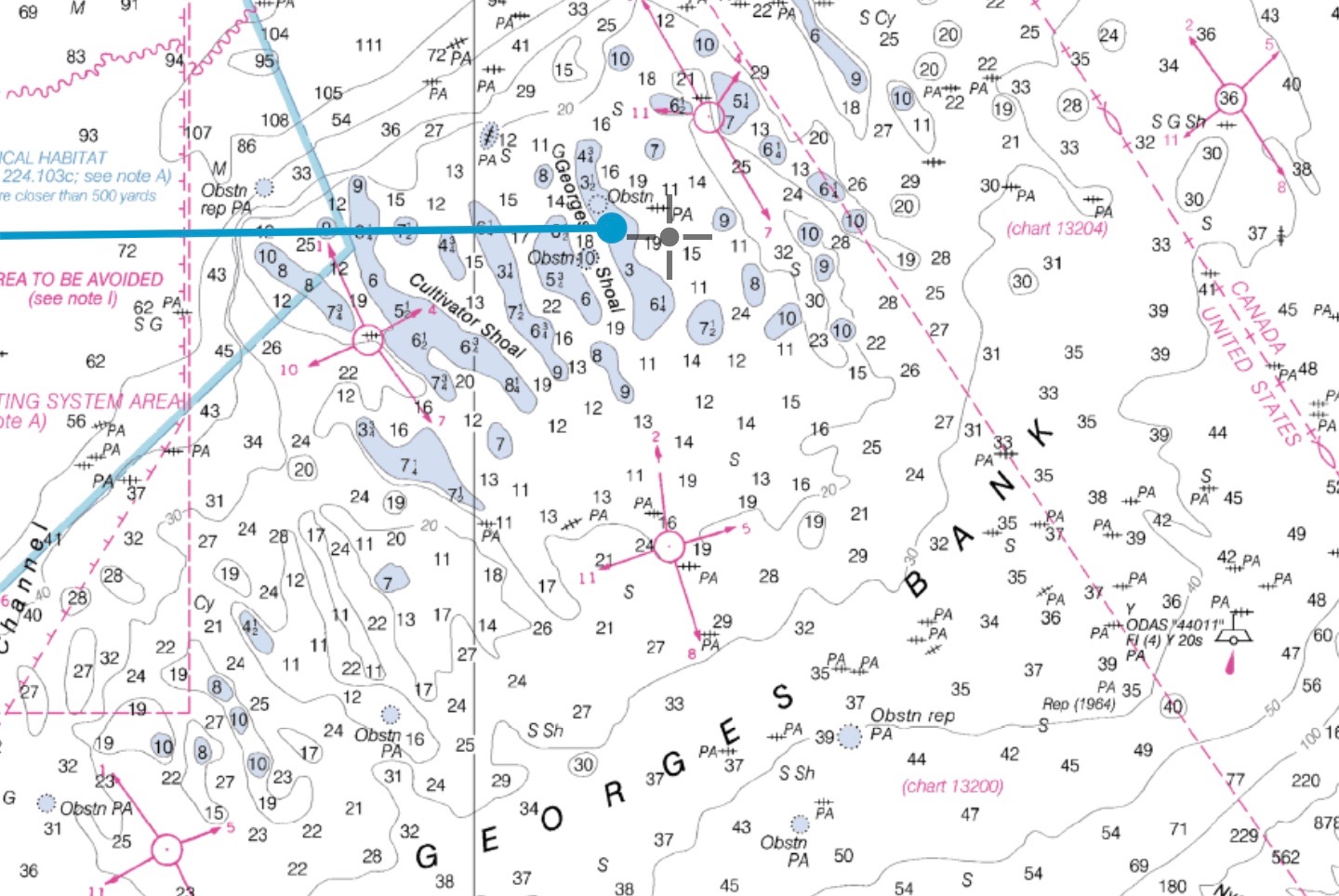
I believe a well constructed Raster chart is always superior to a vector chart when constructed using the same underlying data. More specifically for US waters I would never rely on NOAA vector charts when NOAA raster charts are available. The main difference is that raster charts were ‘rendered’ by a skilled human using a […]
