The shit hit the fan all at once: we rounded Cape Ann and suddenly we were no longer sheltered from the northwest wind or seas. We headed up to close hauled and began pounding into the chop. The sun dipped below the horizon and we were quickly enveloped in darkness. Rounding this natural choke point we sighted fishing and barge traffic. But the most worrisome development was unfolding below: I watched as the skipper tried to plot our position on the wrong page in the chart book. Twice. I took a deep breath, set my jaw and braced myself for a long and stressful night.
I was really excited about this trip a week before when I had signed on. Ironically, I signed on to this adventure expecting it would be a great opportunity to learn about practical navigation. I had my ASA bareboat rating and aced the navigational component, had taken a 10 week navigational course ashore and also had experience sailing a Rhodes 19 around the Boston Harbor using a laminated paper chart and visual navigation.
All of that education and experience seemed really impractical. Using a paper chart in a crowded open boat proved so impractical that I opted to memorize the chart instead. None of the boats with chartplotters I sailed on used paper charts while underway. This delivery would be the first big boat I sailed on that used the paper charts for navigation underway and they offered to teach me their navigational procedures.

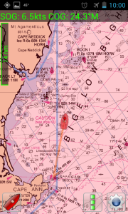
I signed on to be the navigator in training. The skipper asked me to submit a passage plan for his approval. While I could have managed with free resources online I decided this would be a good opportunity to start learning an electronic navigation system of my own. As I was most familiar with the NOAA rather charts I picked MxMariner, an app based on that system.
Off Cape Ann, after finding the right page in the chart book for the skipper, I fired up my new navigation app. After we got through most of the traffic the skipper told the crew in the cockpit to tack in toward land so we would be sheltered from the wind and seas. The first problem with that plan was that the previous 15 minutes had eliminated any confidence that we were capable of navigating close to shore in the dark. The next problem is that would bring us closer to land to the south; offering no protection from weather out of the northwest. The most immediate problem was our skipper was anticipating buoy racing tacking angles into chop with three reefs in.
We tacked through 120 degrees, respectable in the conditions but far too wide to keep clear of Cape Ann. We speed along at 7 knots as the skipper struggled to plot a new position. The mile to the rocks dwindled to a fraction of a mile. As we reached 0.2 miles I yelled up to the cockpit that if we didn’t tack in the next 2 minutes we were all going swimming. Apparently I sounded appropriately terrified because we tacked moments later. The skipper grumbled that we should have tacked well clear of the rocks but didn’t return to plotting a position. Instead he threw up in a mug, handed it up to the cockpit to be disposed of and then disappeared into his bunk; to be fair he and I were technically off watch. I became the de-facto navigator: me and my brand new four dollar and ninety nine cent navigation app…

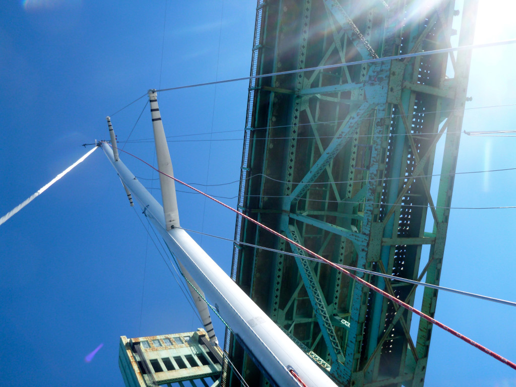
As the author of the passage plan, I felt somewhat prepared for my new duties. With the weather this bad and the night this dark all we could do was stay on the favored offshore tack until we cleared Isle of Shoals and then head inshore to Portsmouth. Once in the harbor we’d grab a mooring and wait till 8am when the drawbridge would be manned.
It was the coldest night of my life. The chop was steep, the spray was icy and this raceboat’s cockpit didn’t have the shelter of a bimini or a dodger. I looked like a red and yellow Michelin man because I was wearing every scrap of clothing I had brought with me underneath my foul weather gear. Through the night the ocean’s chill crept further up my arms and legs from my foulies insufficiently gasketed seals.
This is meant as a cautionary tale. But not a very poignant one because during the rest of the trip nothing major went wrong; rest of the night and the next morning seemed to fly by as a stark contrast to the 5 minutes bearing down on Cape Ann feeling like forever. I finally got to sleep after we had rounded the Isle of Shoals, the conditions relented and we fired up the engine as the navigation lights started to dim. I was surprised to wake up at 0200 to the sound of an air horn as the on watch attempted to signal the drawbridge operator 5 hours in advance of their shift. We tied off to an empty dock to wait for morning and snuck ashore for coffee before we finished the last miles of the trip.

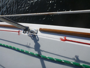
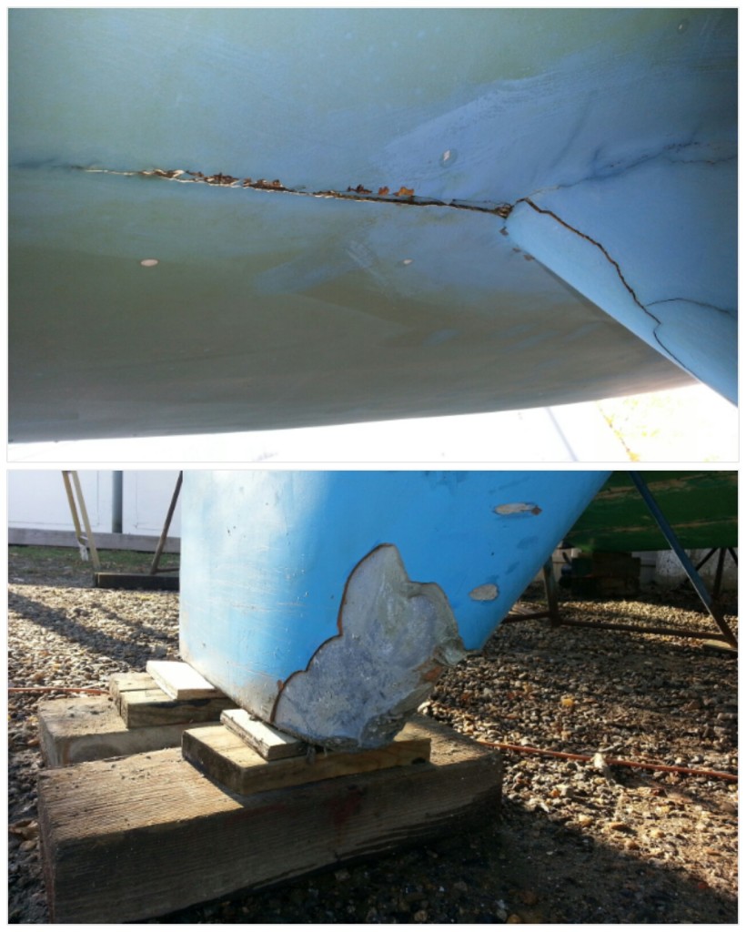
But don’t use our success as an excuse to throw caution to the wind and head out unprepared; we had a lot of luck with us that night. We were lucky jib furling line held even though ¾ of it chafed away. We were lucky the undiscovered crack in the keel-to-hull (yes really) joint didn’t turn into a critical problem. We were lucky my limited skill with my new navigation app was sufficient to get us ashore safely.
What I took away from the experience is that, as pick up crew, I should always bring my own set of navigation tools that can be used to navigate ashore safely. This trip drilled into me that navigation, the art of keeping your vessel clear of trouble while getting where you’re going, is the most important safety consideration of any sailing adventure.

Leave a Reply