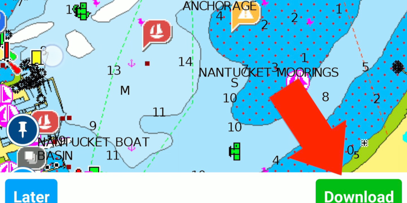
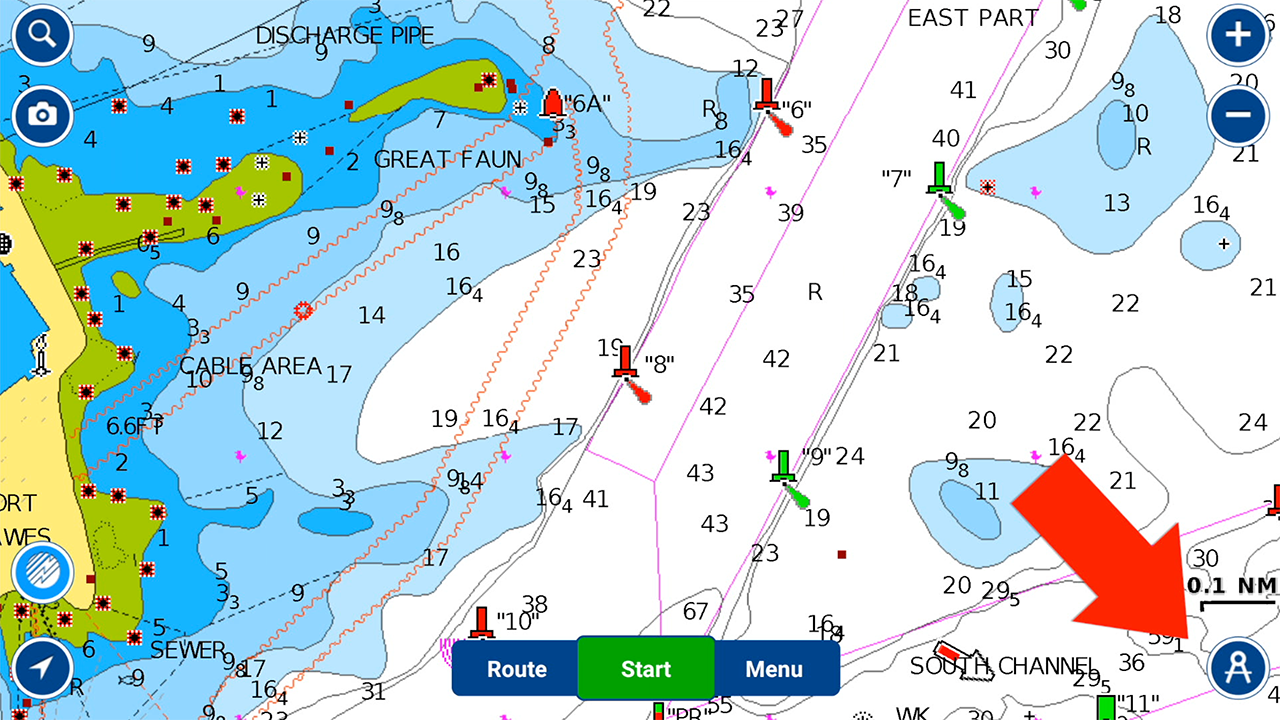
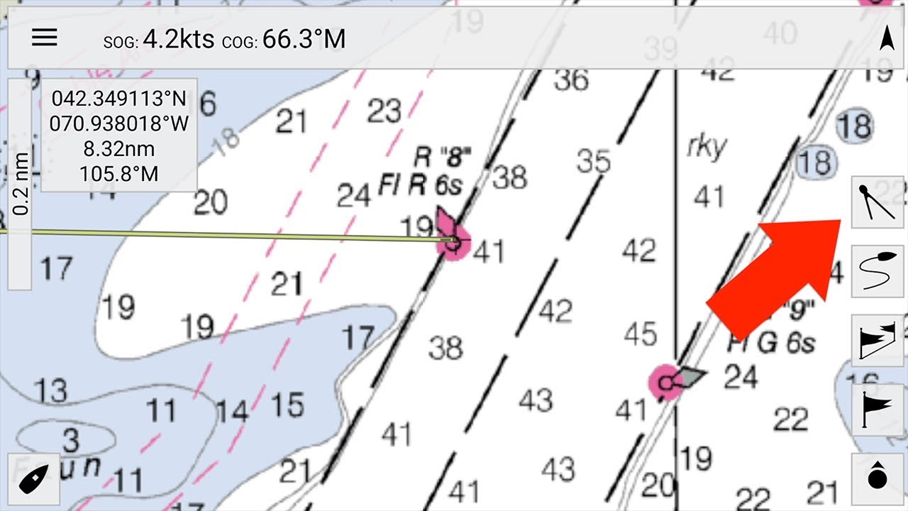
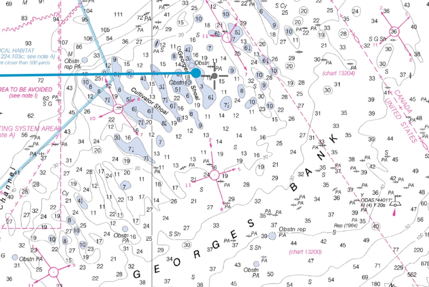
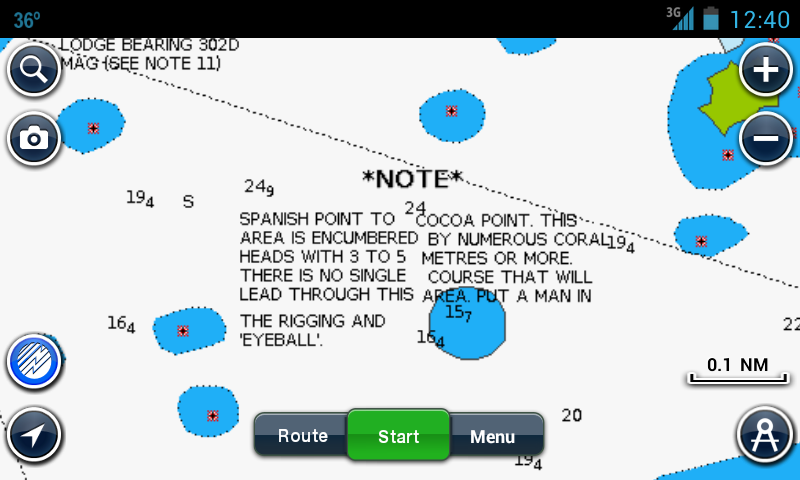
This video will demonstrate how I ensure I have necessary offline charts before a passage. The process itself is applicable to any chartplotter app but for this demonstration we use Navionics
Crossing the Gulf Stream from Bermuda to New England
Gear failure complicates an unusual passage across the Gulf Stream.
Customizing your Chartplotter with Local Knowledge
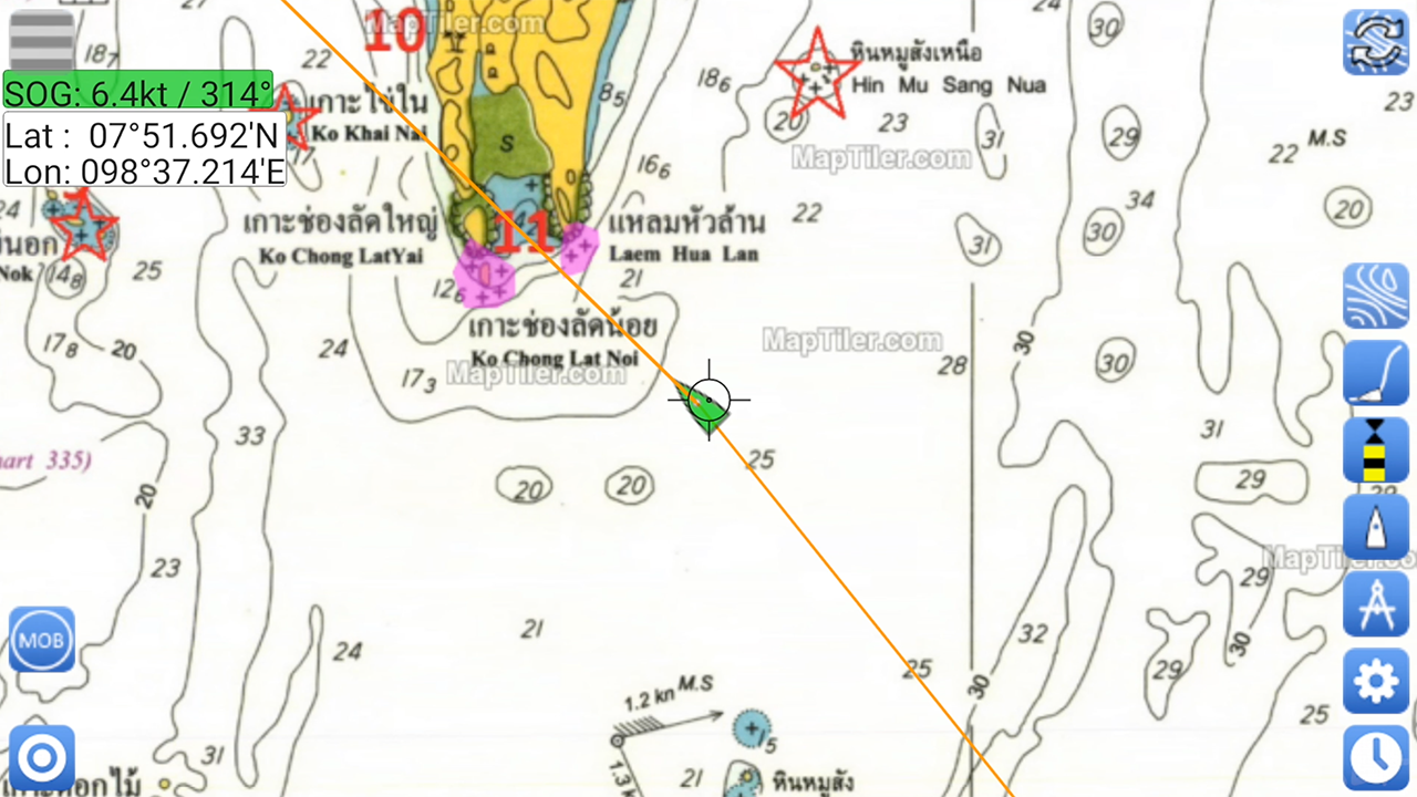
Step by step instructional video for customizing a chart with local knowledge and then loading it onto a smartphone chartplotter app. Using only free software! Download Links Image Customization: Preview on OSX (builtin app) GIMP Maptiler File Management “Downloads” App (builtin on many Android devices) X-Plore File Manager SailGrib Weather Routing Free
Navionics Navigation Introduction
This 3 minute tutorial will introduce you to the basic navigation functionality of Navioncs. If you’re getting started with navigation on Android or iOS devices download SavvySalt’s click here to download Ultimate Guide to Smartphone Navigation. This will jump start your foray into Android or iOS navigation. Video Transcript. In case I mumbled: This video […]
MxMariner Navigation Introduction
Navigation is the art of keeping your vessel clear of trouble while getting where you’re going. At sea, navigation is your ounce of prevention. This 3 minute tutorial will introduce you to the basic navigation functionality of MxMariner. If you’re getting started with navigation on Android or iOS devices download SavvySalt’s click here to download […]
Raster vs. Vector Charts: Why I don’t trust vector charts
I believe a well constructed Raster chart is always superior to a vector chart when constructed using the same underlying data. More specifically for US waters I would never rely on NOAA vector charts when NOAA raster charts are available. The main difference is that raster charts were ‘rendered’ by a skilled human using a […]
Barbuda Passage Plan vs. Reality
Due to provisioning delays and a charter briefing recommendation against overnighting in Dickenson Bay given the prevailing swells we wound up leaving for Barbuda from Five Islands Harbor so the passage would be about 5nm longer than anticipated. Barbuda was the most ambitious passage of the trip so some planning had gone into it. Want […]
Passage Evaluation: Antigua to Barbuda
As skipper and navigator just about every time we go out sailing there is “passage” evaluation and planning. Even if it’s as simple as “we have 3 hours, let’s head east for 1 hour and back west for 2” you’re always evaluating options, most of the time intuitively your head. This evaluation gets harder as […]
