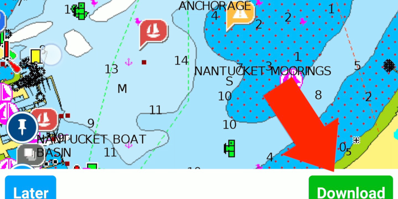
This video will demonstrate how I ensure I have necessary offline charts before a passage. The process itself is applicable to any chartplotter app but for this demonstration we use Navionics
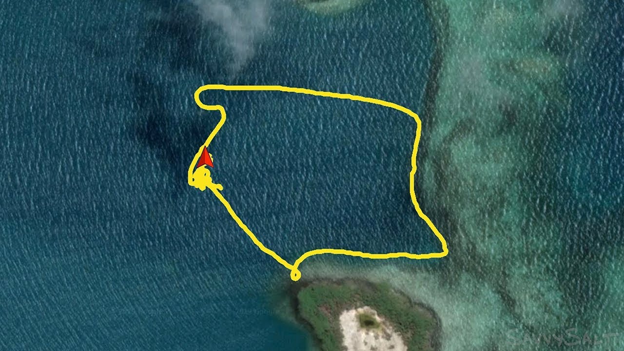
Anchor More Safely with a Dinghy Scout Track
With any simple handheld chartplotter, often as simple as your smartphone with your favorite navigation app installed, you can use this technique to improve your safety margin in sparsely charted areas. I love tips like this that use gear I’ve already paid for in an unorthodox way, especially when it allows me to enhance safety […]
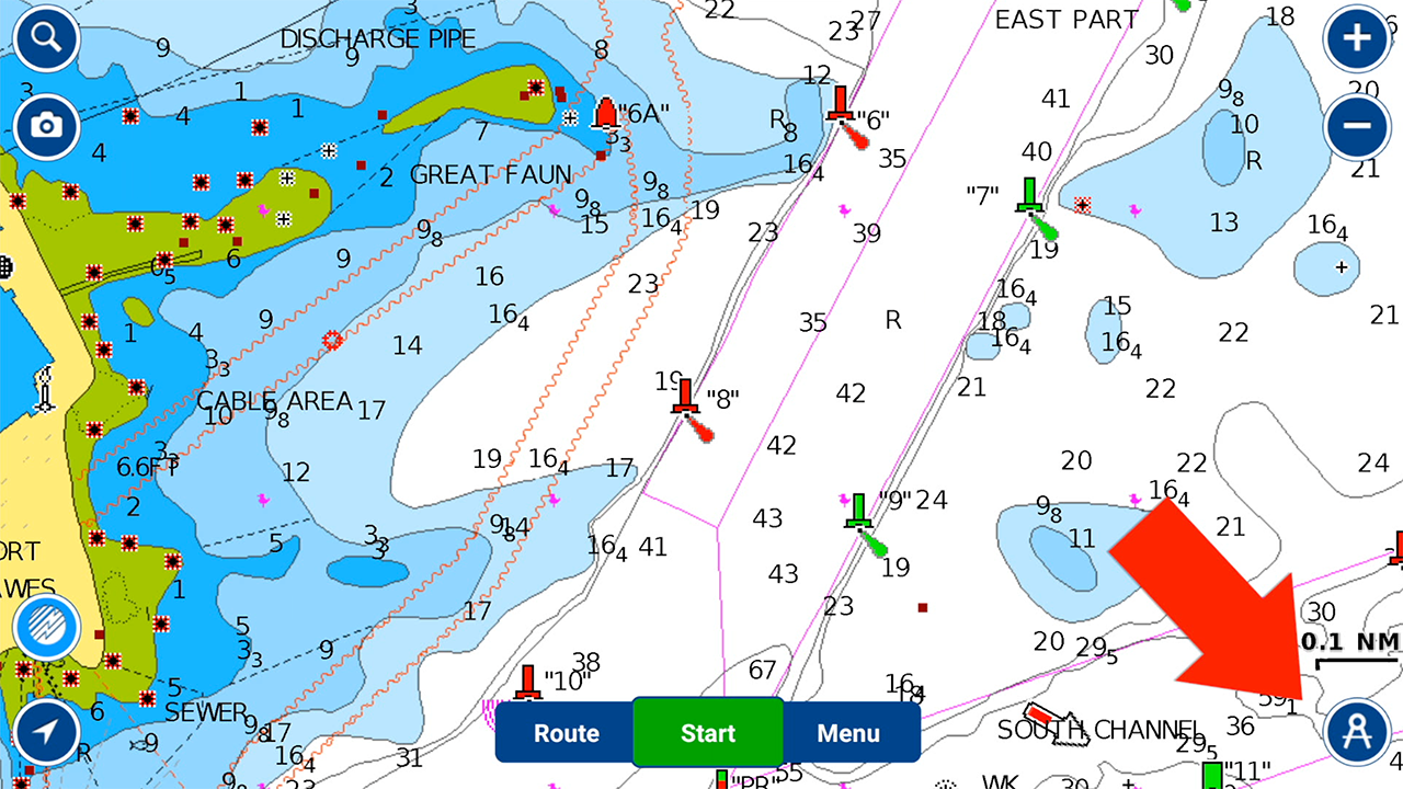
Navionics Navigation Introduction
This 3 minute tutorial will introduce you to the basic navigation functionality of Navioncs. If you’re getting started with navigation on Android or iOS devices download SavvySalt’s click here to download Ultimate Guide to Smartphone Navigation. This will jump start your foray into Android or iOS navigation. Video Transcript. In case I mumbled: This video […]
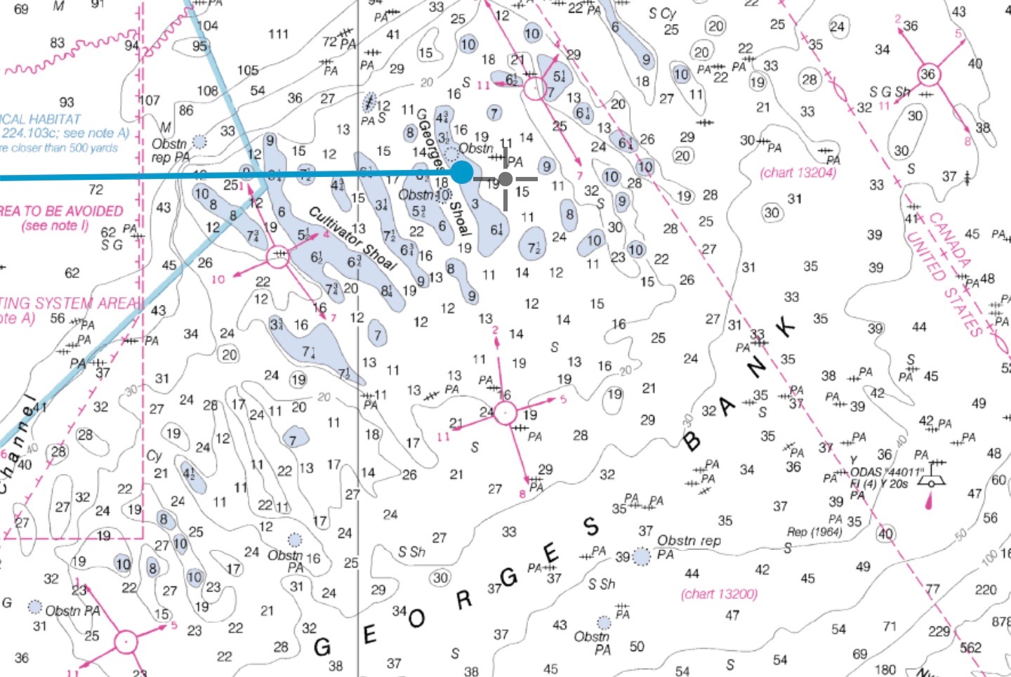
Raster vs. Vector Charts: Why I don’t trust vector charts
I believe a well constructed Raster chart is always superior to a vector chart when constructed using the same underlying data. More specifically for US waters I would never rely on NOAA vector charts when NOAA raster charts are available. The main difference is that raster charts were ‘rendered’ by a skilled human using a […]


